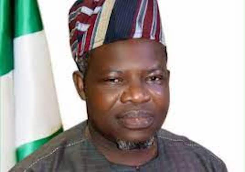
Nigeria’s Surveyor General, Abudulganiyu Adebomehin, and the Hydrographer of the Federation, Rear Admiral Ayo Olugbode, have pledged collaborative efforts to safeguard the nation’s maritime boundaries. During a recent meeting in Abuja, the officials emphasized the importance of strengthening hydrographic capabilities, particularly through enhanced staffing and inter-agency cooperation.
Adebomehin highlighted the complementary roles of the Office of the Surveyor General of the Federation (OSGOF) and the National Hydrographic Agency (NHA), describing the partnership as a strategic step toward maritime security. He affirmed OSGOF’s commitment to deploying skilled personnel to support the NHA’s mission.
Olugbode, in turn, likened the meeting to a homecoming, noting that terrestrial and maritime responsibilities are intrinsically linked. He acknowledged the daunting task of overseeing 84,000 square nautical miles of ocean territory while underscoring the shared responsibility for Nigeria’s 923,000 square kilometers of land and sea. The collaboration marks a significant stride in fortifying the country’s maritime interests for both civilian and military domains.


